The World's Largest Map of Ireland!
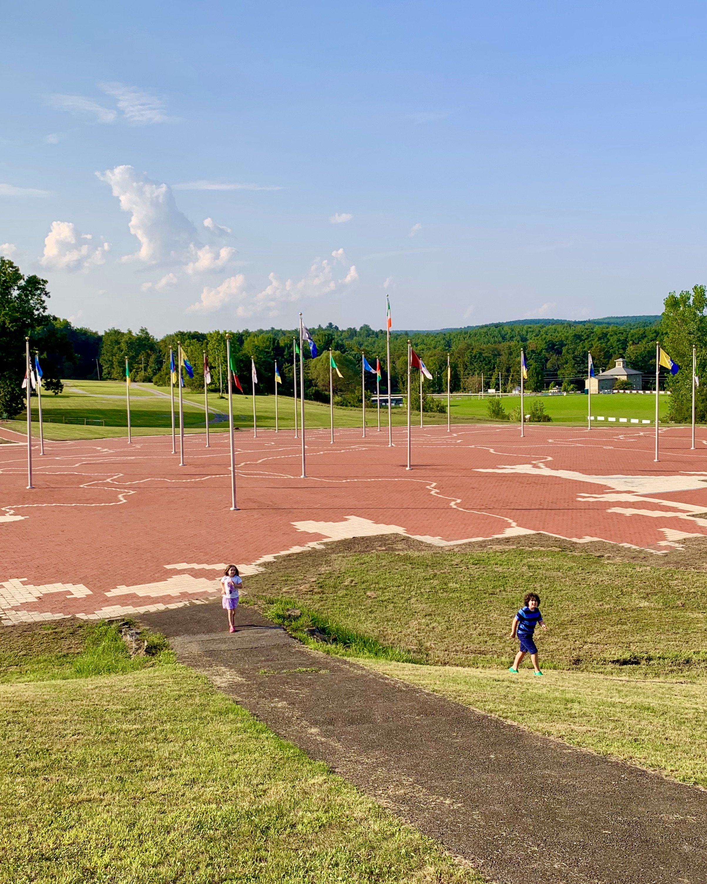
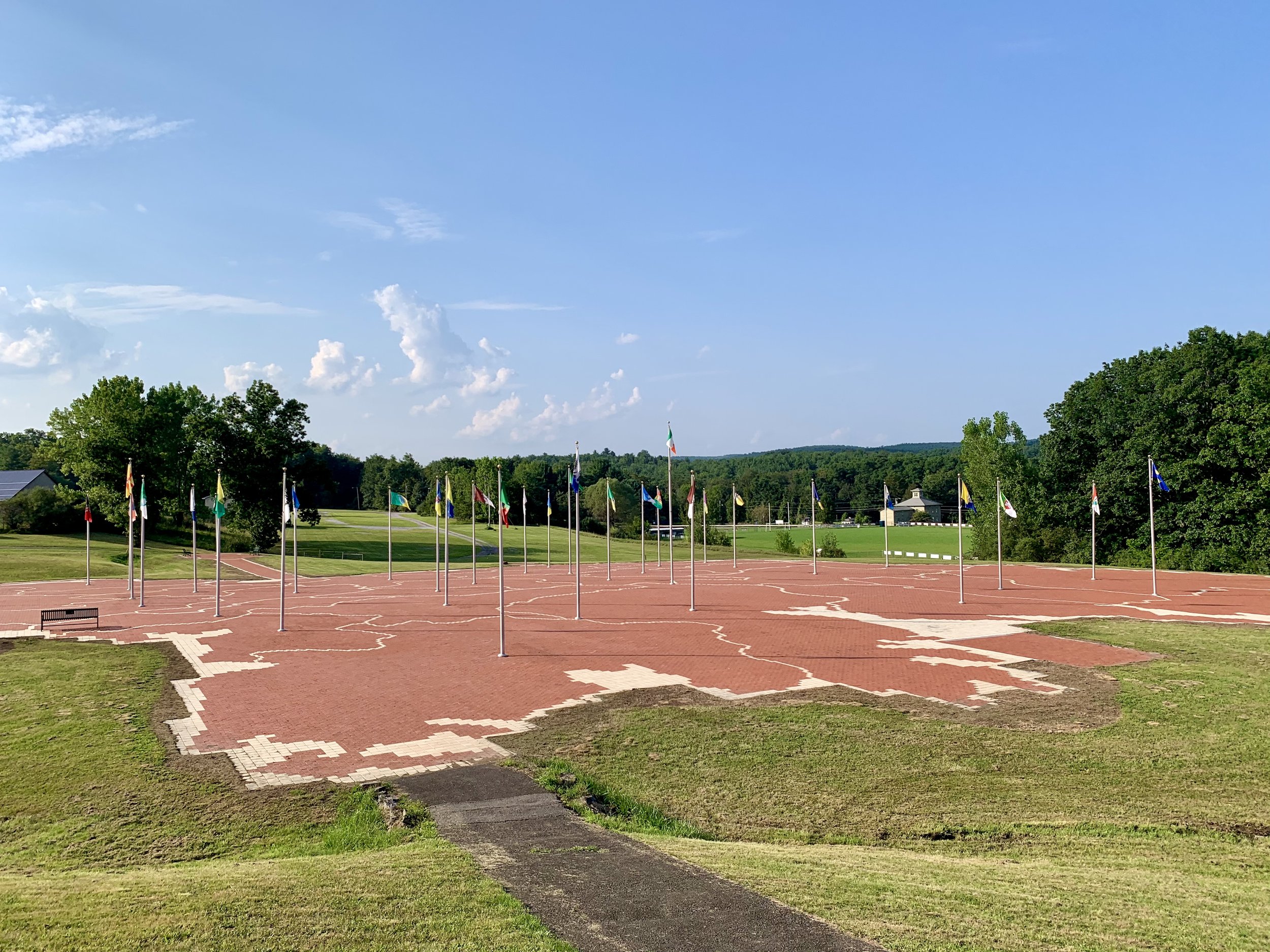
The World’s Largest Map of Ireland lives in the Emerald Isle of the Catskills. Constructed of over 170,000 bricks in 2001, this awe-inspiring map lives at the Michael J. Quill Irish Centre in East Durham. Each of the 32 counties of Ireland are represented and marked with their county flag.
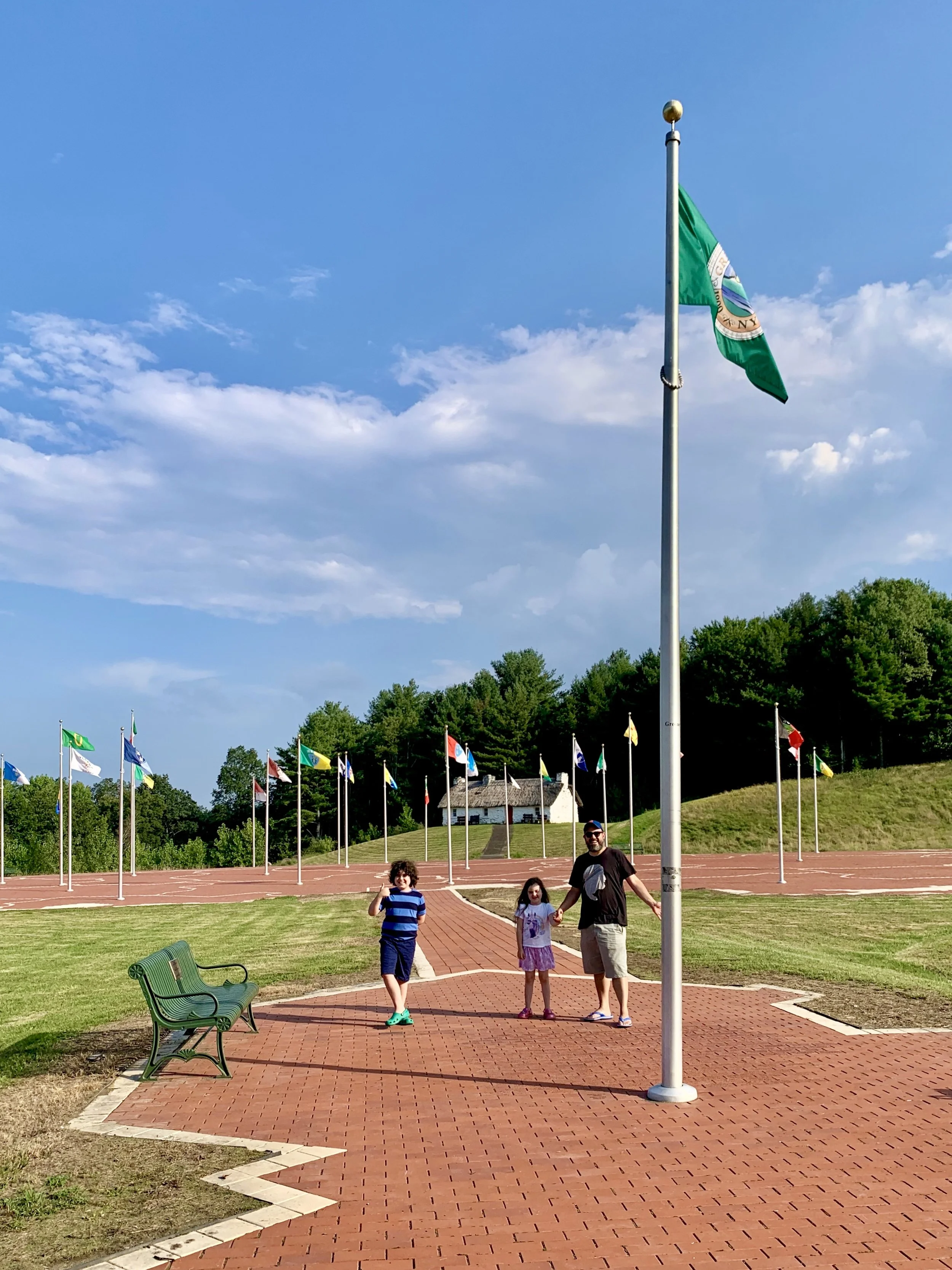
As pictured below, Greene County is also mapped out and marked with its own county flag. A bricked path bridges the gap between this Upstate New York county and the motherland.
The map of Greene County in the foreground is attached to the counties of Ireland with a bricked bridge. My map-enthusiast son, Archer, loved every bit of this.
East Durham has been the headquarters of the Irish Catskills since the Irish immigrants the Bronx, Queens and Brooklyn started gathering there—and building boarding houses and dance halls—way back in the 1940s.
My 10-year-old son is interested in ancestry (he’s about a quarter Irish), and he’s deeply interested in maps and flags, so was a total goldmine for him. But you don’t have to be a geography nerd to appreciate the massive scale of this map, which is located in a grassy meadow behind the cultural center and is open to the public, free of charge.
The World’s Largest Map of Ireland is nestled in the Emerald Isle of the Catskills.
The Irish culture still shines at local spots like Gavin’s Country Inn and Guaranteed Irish, your one-stop shop for Irish imports. Every summer, lovers of Irish traditional music gather here for Catskills Irish Arts Week, where visitors can enroll in a week-long immersion in subjects like step dance, fiddle, tin whistle, and more. (If you’ve ever dreamed of taking your bodhrán skills to the next level, now’s your chance, lassie!)
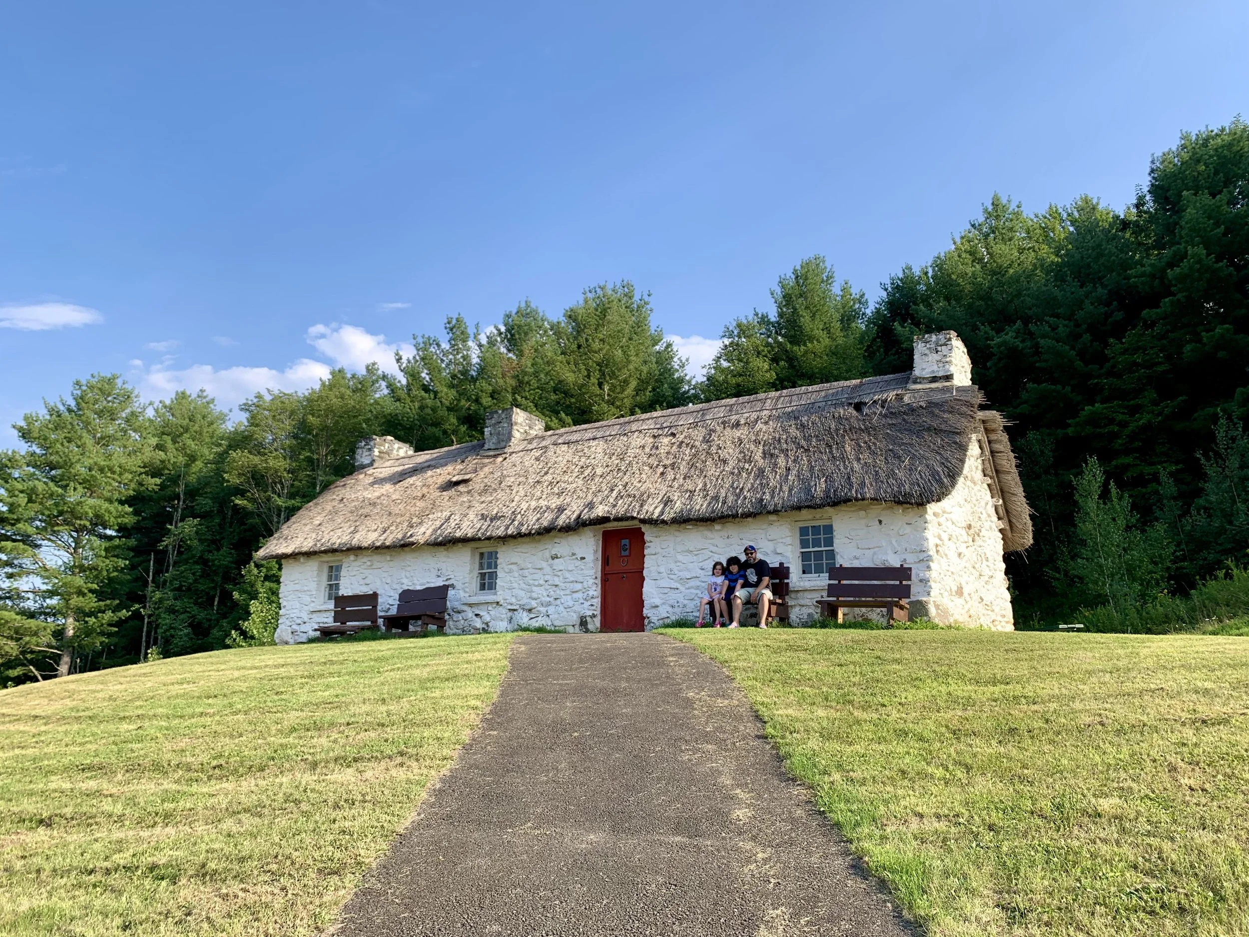
This 200-year-old thatch-roofed cottage was imported from Ireland and reassembled in the Catskills.
Right next to the map of Ireland, you’ll find an Irish cottage that was built over 200 years ago in the town of Carrickataggart in County Donegal. The cottage was disassembled, shipped across the Atlantic Ocean, and reassembled here.
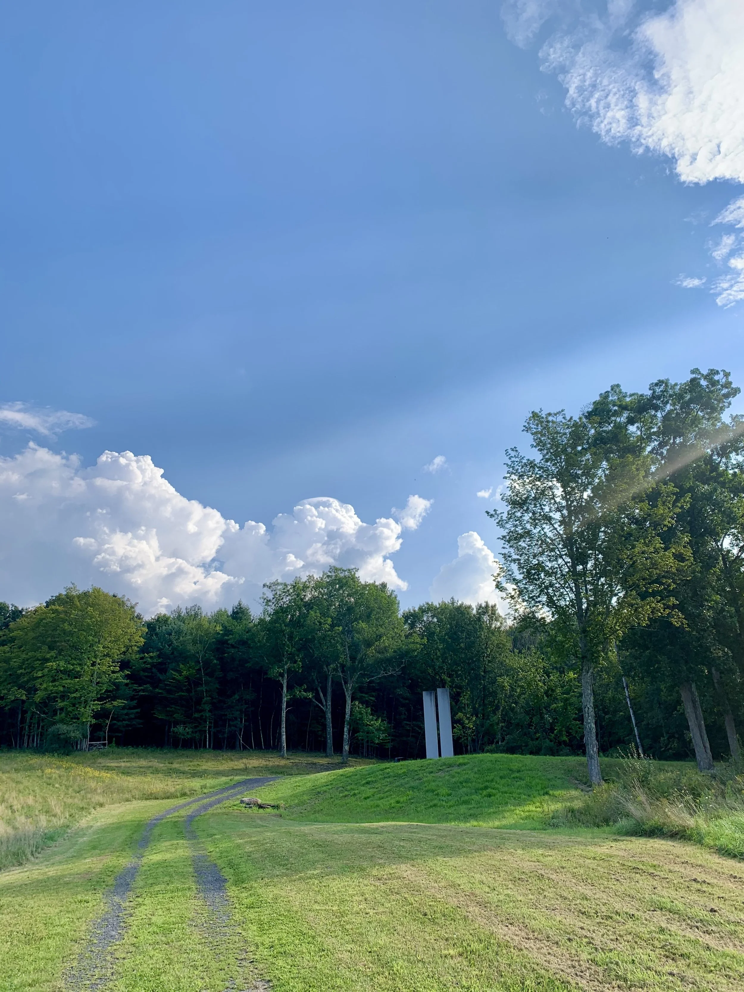
The East Durham 9/11 Memorial honors fallen heroes.
Up the hill, where the field meets the forest, a Twin Towers monument pays tribute to all the heroes of 9/11.
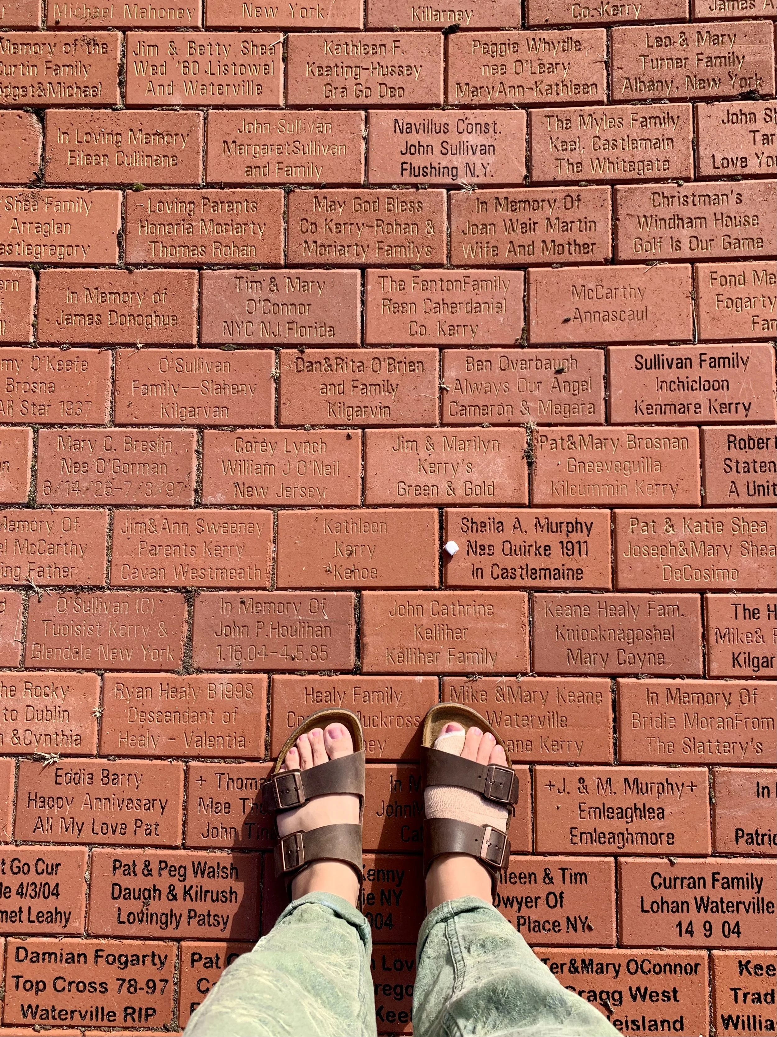
Support the World’s Largest Map of Ireland by dedicating a brick to someone you love.
To honor a loved one and support the Michael J. Quill Irish Cultural & Sports Centre, you can buy a brick and have it engraved for $100. I included my feet for scale (back when I busted my food last summer), but maybe I’ll replace this image when I get a brick to honor my Surlis clan!
The World’s Largest Map of Ireland is located at the Michael J. Quill Irish Cultural & Sports Centre at 2267 Route 145, East Durham, NY.

